

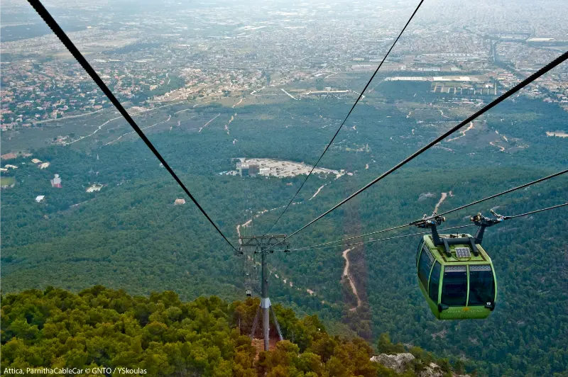
Mount Parnitha is the largest mountain escape immediately associated with Athens and feels far more remote than its distance from the capital suggests. Forest roads, hiking trails, refuges and high viewpoints create a genuine mountain day, while the lower slopes connect with the former royal estate at Tatoi and the northern edge of the urban basin.
Visit Greece describes Parnitha as the highest mountain in Attica, around 30 kilometres northwest of Athens, with a large national park. Compared with the shorter walks in the Hymettus guide, Parnitha deserves more time and more serious weather planning.
Why this trip is worth your time
The scale is the main attraction. You can spend a full day walking without feeling that the city is just around the corner. The forest and elevation create cooler conditions than central Athens, but they also bring real mountain variables such as fog, snow in winter, wind and difficult orientation.
Parnitha also suits different travel styles. Strong hikers can plan longer routes, families can choose shorter forest walks near accessible points, and cyclists use the mountain roads and trails. The important thing is matching the route to the group rather than treating “Parnitha” as one single hike.
At a glance
| Best for | Hiking, mountain biking, refuges, cooler summer mornings and nature near Athens |
| Time needed | Half day for a short walk; full day for hiking |
| Best base | Athens |
| Transport | Car/taxi is easiest; route-specific public transport is limited |
| Best pairing | Tatoi, northern Athens or a dedicated outdoor day |
What to see and do
Do not arrive without a route. Parnitha is a mountain area, not a single attraction with one entrance gate.
- Choose a marked trail appropriate to your fitness and the season.
- Use Bafi or another refuge area as a practical orientation point when relevant to your route.
- Look for forest views rather than chasing wildlife at close range.
- Consider Tatoi as a separate lower-altitude cultural/nature stop.
- Check fire restrictions, snow and road conditions before leaving Athens.
A national park on the edge of a metropolis
Parnitha has long been a natural counterweight to Athens. Its forests, springs and high ground made it valuable well before modern recreation, while today the national park protects habitats within reach of a metropolitan region of millions of people.
The mountain has also suffered major fires, which are part of its modern environmental history. Regeneration, burned landscapes and protected forest now coexist, making visitor behaviour particularly important in dry months.
Bafi Refuge, trails and choosing the right level
Bafi Refuge is one of the best-known reference points for hikers, but do not assume every trip has to start or finish there. Parnitha contains multiple trailheads and route combinations. Decide first whether you want a family walk, moderate hike or full-day route, then choose access.
For navigation, carry an offline map and a charged phone, but also know your turnaround time. Forest tracks can intersect repeatedly, and cloud can erase the city views people use as informal orientation.
A practical route that works
For a first visit, a moderate forest route is more useful than a heroic distance target.
- Check Civil Protection fire-risk and mountain weather information.
- Drive or transfer to the chosen trailhead early.
- Walk a marked route toward a refuge or viewpoint.
- Take a real break before the return rather than extending the route impulsively.
- Leave the mountain with daylight to spare, especially in winter.
If snow, ice, extreme heat or fire restrictions complicate the route, change the plan. Being close to Athens does not remove mountain risk.
Getting there from Athens
Parnitha lies northwest of Athens. Visit Greece notes access from areas such as Menidi, Sfendali and Avlona for different outdoor routes. A car offers the most flexibility because trailheads are dispersed.
Taxi access can work for popular points, but arrange the return in advance; mobile coverage and taxi availability should not be assumed deep into a hiking day.
Getting around once you arrive
Once on the mountain, walking or cycling is the point. Road access varies and temporary closures are possible.
If you add Tatoi, treat it as a separate segment with its own access and restoration status. Do not assume every historic building or estate section is open to visitors.
Best time to visit
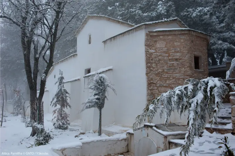
Autumn and spring are excellent for hiking. Winter can bring snow and icy roads, which make the mountain beautiful but require different equipment and driving confidence.
Summer mornings can be cooler than Athens, but wildfire danger is the decisive factor. High-risk days may bring access bans, and those restrictions should be treated as non-negotiable.
Where to stay or whether to return to Athens
Stay in Athens. Parnitha is a day-trip mountain for most visitors.
An overnight near the northern suburbs is useful only if the mountain is part of a larger road trip or specialist hiking plan.
Food, breaks and local rhythm
Carry sufficient water and food for your route. A refuge can be useful, but never design a hike around the assumption that a specific facility will be open.
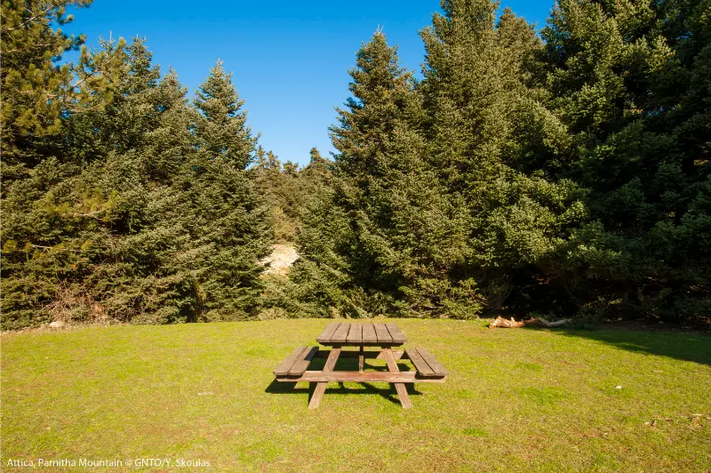
Pack out every item you bring in. Mountain picnic areas near cities often suffer most from casual litter because visitors assume someone else will collect it.
How to combine this with a wider Greece itinerary
Compare Parnitha with Hymettus: Parnitha is the better choice for a full outdoor day, while Hymettus is easier to combine with city sightseeing.
If your Greece trip is heavily urban, this is also a useful counterpoint to the Athens guide before moving on to islands or archaeological road trips.
Mistakes to avoid
- Starting without checking fire-risk restrictions.
- Treating the mountain as one simple signposted loop.
- Depending on a refuge for all water and food.
- Continuing after the planned turnaround time because Athens looks close.
Parnitha’s biggest planning trap is familiarity: it feels safe because it is beside Athens. Respect it as a mountain and the visit becomes far more enjoyable.
Practical planning for 2026
Visit Greece identifies Parnitha as the highest mountain in Attica and highlights mountain-bike routes toward areas such as Bafi and Flambouri refuges. Conditions change seasonally, so use local mountain and Civil Protection information for the day of travel.
Background: Visit Greece – Athens in Action.
Responsible travel and safety
Never smoke or light fires in the forest. Follow seasonal restrictions and report smoke or fire immediately through emergency services.
Do not approach deer or other wildlife for photos. Keep food secured and leave animals with enough distance to move naturally.
FAQ
How far is Mount Parnitha from Athens?
Visit Greece places it about 30 km northwest of Athens, though driving time depends on the trailhead and traffic.
Is Parnitha suitable for beginners?
Yes, if you choose a short marked route. The mountain also has much longer and more demanding options.
Can I visit Parnitha in winter?
Yes, but snow and ice can require appropriate equipment and driving experience.
What is Bafi Refuge?
It is one of the best-known mountain refuges on Parnitha and a common reference point for hiking routes.
Is Parnitha safe in summer?
It can be, but wildfire risk and heat must be checked on the day. Access restrictions may apply.
Final thoughts
Parnitha is the outdoor day that makes Athens feel geographically complete. The capital is not only a city facing the sea; it is also surrounded by mountains capable of delivering a real forest hike within the same trip.
Choose a realistic route, check safety conditions and finish before tiredness or darkness complicates the return. Done well, Parnitha feels like a separate destination rather than an urban park.
Extra planning notes
Before committing to Mount Parnitha Guide, compare the real transfer sequence for your date rather than judging the trip by straight-line distance. Attica traffic changes quickly, archaeological and museum schedules can be seasonal, and coastal or mountain plans are sensitive to weather. I prefer to protect one flexible hour in the day so a delayed bus, longer museum visit or slower lunch does not turn the return to Athens into a race.
For summer visits, move the most exposed activity to the first part of the day, carry water and treat official heat or fire restrictions as part of the itinerary. In cooler months, the opposite issue is shorter daylight and earlier closing times. These small adjustments matter more than adding one extra attraction, especially when the goal is to experience Attica rather than collect map pins.
A slower version of the day
If the itinerary still feels crowded, remove the least important stop rather than shortening every visit. The best day trips from Athens usually have one clear anchor, one supporting stop and enough unscheduled time for food, weather and traffic. That structure also makes the trip more resilient when seasonal opening hours or transport changes do not match the plan you made months earlier.
Before you set out
A final check the evening before makes this kind of excursion much easier: confirm opening hours, weather, road or trail restrictions, the return route and the amount of daylight available. Keep offline directions on your phone and tell someone your planned route when the day includes mountain paths. If conditions are worse than expected, shorten the outing rather than forcing the original plan.
For more ideas around Attica, see our Tatoi Estate guide.
For more ideas around Attica, see our Phyle Fortress guide.