
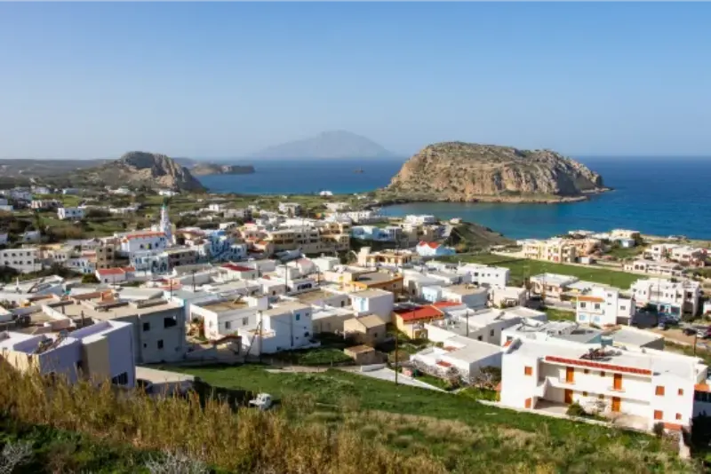
The mountain villages are the best way to understand why Karpathos feels different from a simple beach island. Aperi was once the capital, Othos is the island’s highest settlement, Menetes spreads amphitheatrically above the south, and Volada and Pyles connect the interior road into a rewarding cultural loop. These villages are not interchangeable; each contributes a different piece of the island’s history.

This article complements the Karpathos Travel Guide rather than repeating it. Karpathos is long, mountainous and more spread out than its map can suggest, so the useful question is not simply what is beautiful, but what fits together in one realistic day. I also link to the Olympos Karpathos Guide where the northern traditions need more detail.
Quick planning summary
- Aperi served as the island capital from 1700 to 1892 and remains an important ecclesiastical centre.
- Othos is identified by the municipality as the highest settlement on Karpathos at about 510 m.
- Menetes sits at about 315 m and is one of the island’s largest villages.
- The municipality describes a southern village circuit linking Pigadia, Aperi, Volada, Othos, Pyles, Arkasa and Menetes.
- Village roads and parking require patience; do not plan the loop like a fast driving attraction.
- Churches, folklore collections and everyday architecture are as important as panoramic viewpoints.
| Planning point | Practical approach |
|---|---|
| Base | Choose the area that matches your main priority instead of changing hotels every night. |
| Transport | A car gives the widest freedom; buses, taxis and summer boats work best with a narrower plan. |
| Wind | Use daily wind and sea conditions to decide between exposed and sheltered coasts. |
| Pace | Two or three well-chosen stops usually work better than a long checklist. |
Why the villages matter
Karpathos has preserved unusually strong local identities because mountain settlements historically offered protection and relative isolation. Even today, architecture, dialect, food and religious traditions change the feel of a day once you leave the coast.
Do not approach the interior as a list of photo stops. Choose three or four villages, walk for at least twenty minutes in each and leave time for coffee or lunch. This slower rhythm reveals far more than a rapid loop completed only from the car.
The most famous traditional village is Olympos, but the central and southern villages are easier to combine and show a different, less tour-oriented side of the island.
Aperi: former capital and green lanes
Aperi stands about 8 km northwest of Pigadia and was the island capital from 1700 to 1892. The municipality highlights its mansions, green lanes and role as the seat of the Bishop of Karpathos and Kasos.
Walk rather than drive deep into residential lanes. Aperi is also the gateway toward Achata and Kyra Panagia, so it pairs naturally with a beach afternoon if you do not want a full village circuit.
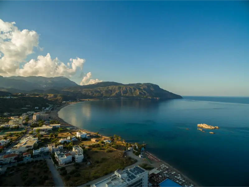
Its relative greenery gives it a softer character than the more exposed settlements farther south and west.
Volada and the inland road
Volada is one of the villages that make the central road circuit work. The municipal attractions page notes remains of three castles from different historical periods in the area, adding interest beyond the village streets themselves.
If archaeological exploration is part of your plan, ask locally about access rather than assuming every ruin has a marked visitor path. Karpathos still contains many places where history sits within a working landscape.
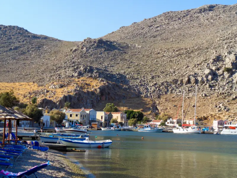
Volada is best enjoyed as part of the chain between Aperi and Othos rather than as an isolated destination.
Othos: the highest settlement
Othos is described by the municipality as the highest settlement on Karpathos, around 510 metres above sea level, with broad views from its amphitheatrical setting. Clouds can sit on the higher terrain even when the coast is clear.
The change in temperature can be noticeable, especially outside midsummer. Carry a light layer if you are touring in spring, autumn or late evening.
Stop for views, village streets and any open cultural collection, but keep expectations flexible because small museums and workshops can have limited hours.
Pyles and the western descent
Pyles sits on the route as the road begins to move toward the west coast. The transition is part of the experience: dry mountain scenery opens toward sea views and sunset country.
Use Pyles as a pause rather than rushing directly to Arkasa. A village square, church courtyard or roadside viewpoint can be more memorable than another scheduled attraction.
If you plan to end at the west coast for sunset, leave enough daylight for the final descent and avoid navigating unfamiliar roads after a long dinner if that makes you uncomfortable.
Menetes: history, church and views
Menetes is built on the northern slope of Profitis Elias at roughly 315 metres. The municipality highlights the large Church of the Assumption, its carved wooden iconostasis, broad views toward Pigadia and the village’s strong role in modern island history.
The Folklore Museum adds context when open, while nearby Agios Mamas preserves older religious art. Check opening arrangements locally because small cultural sites are often seasonal.
Menetes is also a useful link between the southern coast and Arkasa, making it easy to include at the beginning or end of a west-coast day.
How to structure the road trip
A practical loop from Pigadia is Aperi, Volada, Othos and Pyles, then down toward Arkasa, followed by Menetes on the return. The municipality itself describes a similar short circuit through these villages.
Do not add Olympos to this same day. The northern drive deserves its own outing and is already covered in the dedicated Olympos guide.
If you want a shorter version, choose Aperi, Othos and Menetes and spend more time walking rather than collecting villages.
Food, coffee and village etiquette
Village cafés and tavernas are part of the route, not merely places to refuel. Ask about local dishes and sweets and accept that service can follow a slower rhythm than a resort zone.
Dress and behave respectfully around churches, especially if a service or feast is underway. Photograph people only with permission, particularly where traditional dress is part of everyday cultural identity rather than a tourist performance.
Parking respectfully outside tight lanes is one of the simplest ways to reduce friction for residents.
Best time of day and season
Spring and autumn are excellent for village walking because temperatures are lower, while summer evenings bring more social life and festival activity. Midday in July and August can make stone lanes hot and quiet.
Start early for photography and walking, break for lunch, then continue when the light softens. If a village appears sleepy at 15:00, that is not a failure of the destination—it is a normal daily rhythm.
Wind can make the interior feel cooler than the beaches, another reason to carry a light layer outside peak summer.
Tours and activities
Availability changes through the season, especially for boat trips and outdoor activities. Compare departure points, cancellation terms and the exact beaches or villages included before booking. The widget below is useful for seeing what is actually running for your dates rather than assuming that every summer excursion operates every day.
Useful official sources
Continue planning Karpathos
For the rest of the island, continue with these dedicated guides: Pigadia Karpathos Guide: Harbour, Beach, Museum, Food and Where to Stay; Arkasa and Finiki Karpathos Guide: Paleokastro, Beaches, Sunset and Where to Stay; Lefkos and Mesochori Karpathos Guide: Beaches, Village Walks, Sokastro and Where to Stay; Karpathos Mountain Villages Guide: Aperi, Othos, Volada, Pyles and Menetes; Apella, Kyra Panagia and Achata Karpathos Guide: Access, Swimming and Boat Trips; Best Beaches in Karpathos: 15 Beaches for Families, Snorkelling, Wind and Scenery; Karpathos Hiking Guide: Best Trails, Lastos, Olympos, Diafani and Saria; Karpathos Windsurfing Guide: Afiartis, Chicken Bay, Wind, Lessons and Where to Stay; Karpathos Without a Car: Buses, Boats, Taxis and the Best Bases; Where to Stay in Karpathos: Pigadia, Ammoopi, Arkasa, Lefkos or Diafani?. The two existing cornerstone articles remain the Karpathos Travel Guide and the Olympos Karpathos Guide.
Frequently asked questions
Can I see all the mountain villages in one day?
You can drive a loop, but the experience is better if you choose three or four villages and spend time walking rather than trying to stop everywhere.
Which village has the best views?
Othos is especially panoramic because it is the island’s highest settlement, while Menetes has excellent views toward Pigadia and the south.
Do I need a car?
A car is the easiest way to build a multi-village loop. Buses connect some villages, but a timetable-based day is less flexible.
Should I combine the loop with Olympos?
No. Olympos and the far north deserve a separate day because of the distance and the amount there is to experience.
Final planning advice
Karpathos rewards travellers who leave room for the island to set the pace. Distances, mountain roads, wind and boat conditions can change the value of a plan from one day to the next. A flexible itinerary makes it easier to move a beach day, stay longer in a village or choose a sheltered coast when the Aegean is rough.
For a first trip, I would prioritise one strong base, one mountain-village day, one east-coast beach day, one west-coast day and at least one experience that reflects the island’s character beyond the sea. That might be a hike, a windsurf lesson, a slow meal in a fishing village or an overnight in the north. The result feels much more like Karpathos than racing from viewpoint to viewpoint.
Leave a Reply