
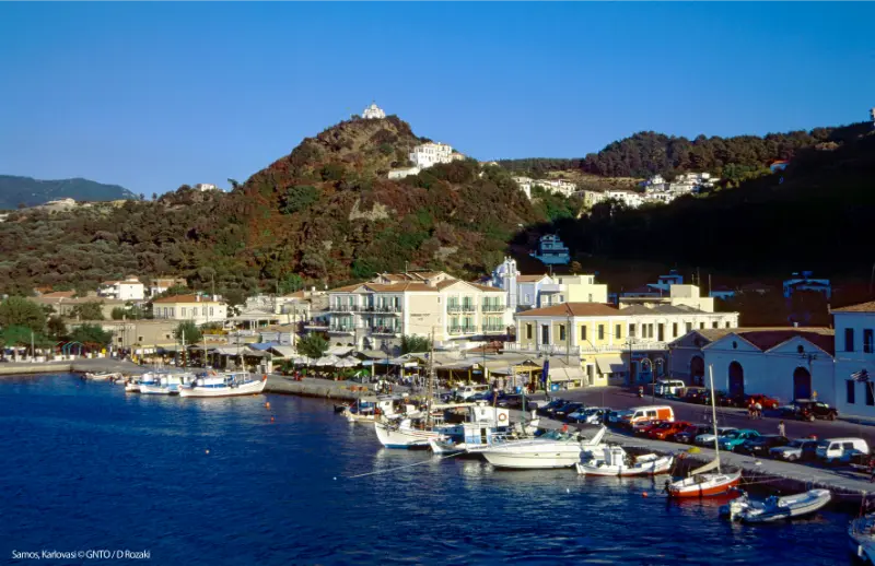
Samos is one of the Greek islands where hiking can be a core reason to visit rather than something you add between beach days. The island rises steeply from the sea into Mount Ambelos and Mount Kerkis, with forests, vineyard terraces, ravines, monasteries and high viewpoints packed into a relatively small area. That variety is exactly what makes route planning important: a shaded village walk and a high summer ascent are not the same activity.
Visit Greece mountain guide to Samos describes both Ambelos and Kerkis as major natural areas within the Natura 2000 network and highlights the island’s rich plant life, bird habitats and marked trails. Use that inspiration, but match the route to your real fitness, heat tolerance and navigation experience.
Mount Kerkis
Mount Kerkis dominates western Samos and is one of the highest island mountains in the Aegean. Routes can be long, exposed and physically demanding. A summit attempt is not something to start late after a beach breakfast. Begin early, carry substantial water, use footwear with grip and download navigation before leaving reliable signal.
Cloud, heat and wind can change the experience quickly. If you are unfamiliar with the mountain or want a more complex route, use a certified local guide. The cost buys route knowledge, pacing and the ability to adjust to current conditions—not just someone to walk in front of you.
Mount Ambelos
Ambelos is greener and closely tied to the vineyard and village landscape of northern Samos. Walks around Vourliotes and Manolates can be shorter and more accessible than a serious Kerkis day while still delivering forest, elevation and views.
This is a good area for travellers who want “real hiking” without turning the holiday into a mountaineering trip. Combine a morning walk with lunch in a mountain village and a late swim on the north coast.
Vourliotes to Manolates
Visit Greece specifically highlights the Vourliotes–Manolates area for hiking and mountain biking. The attraction is not a single viewpoint; it is the transition through vegetation, vineyard terraces and village landscapes. Confirm the current route locally because smaller paths can change after weather or maintenance.
Seitani beach walks
Mikro and Megalo Seitani offer the opposite type of reward: the hike leads to remote coastline. This means all beach equipment, drinking water and sun protection must be carried in and out. Do not underestimate the return climb simply because the first half of the day ends with a swim.
Start early enough that you are not hiking exposed sections in the worst afternoon heat. If sea conditions are rough, enjoy the landscape without assuming a remote beach is automatically safe for swimming.
Potami waterfall walk
Potami is shorter and more playful than the mountain routes, with shade, water and slippery rock. It suits travellers who want a nature walk rather than a full hiking day, but footwear still matters. Protect electronics and accept that turning around at a slippery section is sensible.
Heat and hydration
In peak summer, the single biggest planning tool is an early alarm. Carry more water than you expect to drink, include electrolytes or salty food on longer hikes, and know the signs of heat exhaustion. A route that is easy in April may be inappropriate at midday in August.
Navigation
Download an offline map and carry a power bank. At trail junctions, compare physical markings with your route rather than blindly following a phone arrow. If a path disappears, do not force through vegetation or private land to “rejoin” the track. Backtrack to the last certain point.
Wildfire and access restrictions
During hot, dry periods Greek authorities can restrict access to forests or high-risk areas. Check local notices before a mountain day, especially after prolonged heat or strong winds. A closure is not a suggestion and should not be bypassed because you already booked accommodation near the trail.
What to carry
- Hiking shoes or trail shoes with grip.
- More water than a normal city walk.
- Sun hat, sunscreen and light layer for wind.
- Offline route and charged phone.
- Power bank.
- Small first-aid kit.
- Snack with salt and carbohydrates.
- Headlamp if there is any chance of a late return.
How hiking on Samos fits into a wider Samos trip
Use this page together with the Samos travel guide, Pythagoreion and Heraion UNESCO guide, Kokkari, Samos Town and Vathy, Karlovasi and Potami, Manolates and Vourliotes, Marathokampos and Votsalakia, Samos wine, best beaches, hiking, Samos without a car and where to stay. The strongest Samos itineraries are built by geography: combine the north coast with mountain villages, the west with Karlovasi or Marathokampos, and the south-east with Pythagoreio and Heraion. That avoids spending the best part of the day repeatedly crossing an island whose roads are far more winding than its map distances suggest.
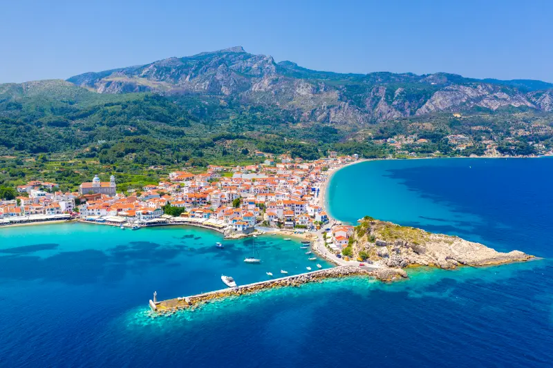
Samos hiking works for everyone from casual village walkers to experienced mountain hikers, but route selection must reflect season, fitness and heat. Do not choose a trail because its destination photograph is famous.
Getting around and checking transport
For major trailheads a car, taxi or arranged transfer is often more practical than the bus network. If you are doing a point-to-point walk, solve the return transport before starting rather than hoping for a taxi at a remote end point.
For buses, use the official KTEL Samos website close to the day you travel. KTEL Samos operates from Vathy and publishes routes and online ticketing; seasonal frequency changes, so an old screenshot should never be treated as a permanent timetable. If one specific connection matters—for example a last bus after a beach day—verify it the same morning and have a taxi number as backup.
Heat, wind and realistic daily pacing
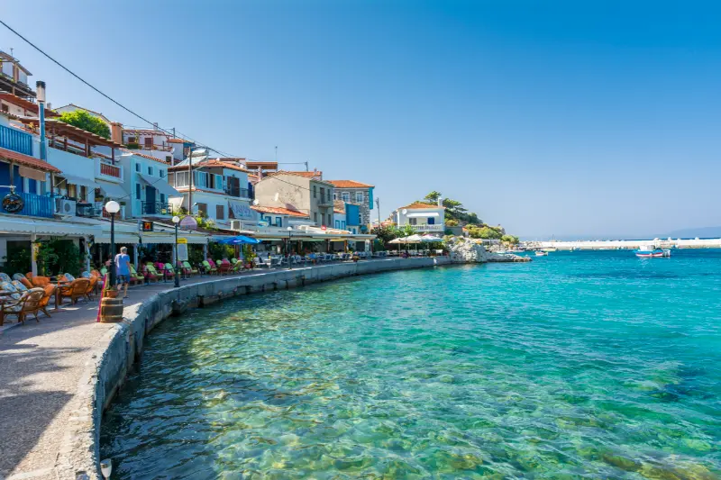
Samos rewards early starts. In July and August, use the cooler morning for village walks, archaeological sites or hiking, keep the hottest hours for swimming or shade, and return to sightseeing in late afternoon. The north coast can be breezy, while inland roads and trails may feel much hotter than the waterfront. A flexible plan works better than forcing a fixed beach or mountain day in poor conditions.
Tours and activities
Boat trips, wine experiences and guided excursions can be useful when they solve a transport problem or add local interpretation. Compare the real time spent at each stop, boat size, shade, swimming access, transfer arrangements and cancellation rules rather than choosing the excursion with the longest list of place names.
Common planning mistakes
- Starting a Mount Kerkis hike too late.
- Carrying too little water.
- Using beach footwear on mountain or waterfall routes.
- Relying on mobile signal for navigation.
- Ignoring wildfire closures or strong-wind warnings.
Frequently asked questions
What is the best hiking area in Samos?
Mount Kerkis offers the biggest mountain challenge, while Ambelos and the Vourliotes–Manolates area are excellent for greener, village-linked walks.

Can you hike in July and August?
Yes, but serious hikes should start very early and may be inappropriate during extreme heat or fire-risk restrictions.
Do you need a guide for Mount Kerkis?
Not every experienced hiker does, but a local guide is strongly recommended if you are unfamiliar with the route or conditions.
Are the Seitani beaches easy to reach?
They require walking and therefore suit prepared visitors carrying water and proper footwear.
Is Potami waterfall a hike?
It is more of a nature walk, but slippery surfaces and water still require appropriate shoes and caution.
Final practical advice
Samos feels most rewarding when you leave room for one unplanned stop each day: a roadside viewpoint, a village square, a swim at a smaller cove or a long lunch. The island has enough variety that you do not need to “complete” it. Pick a strong base, cluster nearby experiences, check time-sensitive transport and opening information again shortly before departure, and let weather decide which day becomes the beach day and which becomes the mountain day.
Shoulder-season hiking
April, May, late September and October can be excellent for hiking because temperatures are lower and vegetation can be more interesting. The trade-off is shorter daylight and a higher chance of unsettled weather. Start early, carry a light waterproof layer and check whether seasonal businesses near the trail are actually open before relying on them for water or food.
Group decision-making
The strongest hiker should not set the pace for everyone else. Agree before starting that anyone can call for a turn-around without debate. If the group separates, risk increases quickly on unfamiliar terrain. Stay together, protect the slowest member from pressure and remember that reaching a summit is optional; returning safely is not.
Extra planning notes
A useful final planning rule is to make the day geographically coherent. Samos looks compact on a map, but mountain roads, village traffic and beach access can turn a short distance into a meaningful part of the day. Keep one main objective, add one or two nearby stops and leave room for weather. In peak summer, carry water in the car, download the map before leaving strong signal and avoid arriving at remote beaches or trailheads just before sunset unless you already understand the return route. In spring and autumn, check seasonal opening hours because beach bars, excursion schedules and some services may be reduced even when the weather is excellent. For any detail that can change—bus times, museum hours, ferry ports, tasting reservations or trail access—verify it again shortly before departure instead of relying on an old blog screenshot.
Leave a Reply